Note: The photos that we show of the Peña Tú Idolo Interpretation Classroom have been taken by EuroWeb Media, SL and they have our full guarantee that what you see is what you get. If you notice any errors in the content, please use the form at the bottom of the page.
Description:
GENERAL INFORMATION
How to get
In the vicinity of the town of Puertas de Vidiago (Llanes), is the Idolo de Peña Tú, a rock in which one of its walls shows various representations of prehistoric art, paintings and engravings that correspond to the Neolithic era, and that probably indicate a memorial, perhaps the tomb, of some notable person from 4,000 years ago.
The access is made from the N-634 highway from which a path to the SW starts that after about 600 meters, slightly ascending, reaches the monument. The visit is free and free throughout the year.
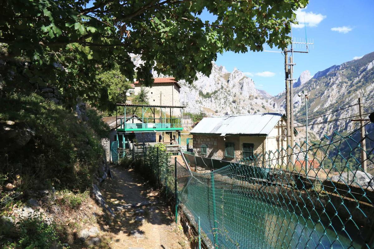
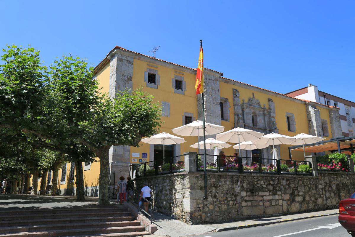
The Peña Tú Interpretation Center or Didactic Classroom is also located in Puertas de Vidiago.
Visit the center
Access to it is free, and the visiting hours are as follows:
- Tuesday to Saturday: from 11:00 a.m. to 1:30 p.m. and from 5:00 p.m. to 9:00 p.m.
- Sundays and holidays: from 11:00 a.m. to 2:00 p.m. and from 5:00 p.m. to 9:00 p.m.
- Closed Monday.
A LITTLE HISTORY
History does not stop
The human occupation of the eastern part of Asturias did not stop in the time of Peña Tú. Metallic finds from more advanced moments of the Bronze Age have been produced in Caldueño (Llanes) and in Trescares (Peñamellera Alta). These specimens reveal the existence of connections, in terms of metalworking techniques and form styles, with the much larger world of Europe’s Atlantic coasts.
The Iron Age has been sparse in testimonies in the Asturian coastal East, and we have a great lack of knowledge, as for a good part of the Bronze Age, of the places of habitation and of the economic processes. The presence of pieces of exceptional quality corresponding in a generic way to that period, such as the pieces of horse harness in bronze from the Cueva Baja de Lledías (Llanes), associated with a ceramic vase.
The recent discovery of a human burial near Peña Tú, in the Fuentenegrosu chasm, informs us of the human use of the mountainous area, through the skeleton of a woman, buried in this place with a personal trousseau made up of two bronze bracelets . Carbon-14 dates place these remains within the framework of the early Iron Age.
Along with this continuity, the identification of Peña Tú as a sacred place must have persisted throughout history. Proof of this is the Christianization of the place and its representations through the superposition of crosses made by picketing the rock, with shapes that seem to date back to medieval times. The name “Cabeza del Gentil” for this monument, which Vega del Sella and Hernández Pacheco collected at the beginning of the 20th century, perfectly illustrates that persistent idea of finding ourselves before a sacred place inherited from paganism.
From sacred spaces to looting places
The visibility of the mounds and their prominent character in the local relief have made them victims of greed over time, as another constant in their history. Its social significance as a place of the dead was passed down from generation to generation, and the subsequent reuse of its mound masses for further burial of the dead is well documented long after they were erected.
The tradition of individual burial with prestigious personal trousseaus supposed the existence of wealth —to the scale of what it meant in those communities— in the tombs, giving rise to legends of hidden treasures that used to be based on the discovery, at some point in time. from the more or less remote past, of bronze objects or other materials that the popular imagination quickly transmuted into gold.
In our traditional culture, the mythical Moors, situated in a timeless past, are the origin and source of most of the supposed treasures hidden in caverns and burial mounds, where they were abandoned in their rout before the rapidly advancing Christian armies.
The search for the treasures of the Moors was a well-known activity throughout the modern era, accompanied by infallible treasure gazettes that gave the necessary clues for their discovery. The result was the looting of caves, burial mounds and fortifications linked to these legendary riches. For this reason, practically all of the burial mounds that have come down to us show the traces of looting.
The environment of Peña Tú was not spared from these actions, fueled by supposed books that described a treasure wrapped in a bull’s skin and buried near this place, as mentioned by the count of Vega del Sella.
The first scientific knowledge of Peña Tú
Present throughout the millennia in the coastal landscape of Llanes and the object of the most varied devotions, Peña Tú also became an object of scientific and scholarly worship from August 1913, when it was visited for the first time by Eduardo Hernández Pacheco. and the Count of Vega del Sella. Months later, it would be Juan Cabré who completed the observations and made the classic and most widespread tracing to date of the paintings and engravings that decorate the club.
The discoverers built around the engravings and paintings of Peña Tú a scientific discourse that overlaps the previous religious and legendary discourses: it is an idol from the end of the Neolithic or the beginning of the Metal Ages, with a commemorative character funerary or sacred monument of the people who inhabited the region.
Peña Tú also played a key role in establishing the date of the schematic art of the Iberian Peninsula. Hernández Pacheco uses the association in Peña Tú of the idol and the dagger with the schematic human figures to extend to all of these the same age of the end of the Neolithic or the beginning of the Bronze Age.
In 1923 Peña Tú is declared a National Monument.
Investigations on the Sierras Planas and Peña Tú
The attention aroused by the investigations by Hernández Pacheco, Vega del Sella and Cabré in Peña Tú led to new actions with the aim of unearthing new treasures —this time in an archaeological sense— in the rock environment.
The first of these new seekers was José Fernández Menéndez, parish priest of Vidiago, who carried out excavations in the Cueva del Bufón, finding a sepulchral deposit that included a trousseau of decorated ceramics and a copper awl, from the Chalcolithic period and, therefore, close in time to the execution of the engravings and paintings of the rock. He also began systematic excavations of the burial mounds in the Sierra Plana de Vidiago in the 1920s, exhuming various materials of great interest, including Asturian peaks, which led him to affirm the contemporaneity of the burial mounds with the Asturian shell mounds, and taking these to the Neolithic; This argument led him to a serious controversy with the Count of Vega del Sella, whose idea of the Mesolithic age of the shell piles has been corroborated by subsequent research.
In 1979 Manuel Fernández Miranda and Primitiva Bueno made a new tracing of the painted and engraved figures of Peña Tú. This revision was accompanied by a study in which they related the representations of Peña Tú and Tabuyo del Monte with the «phase A of the Argar culture». Years later, after his excavations and studies of the set of menhirs at Collado de Sejos (Cantabria), Primitiva Bueno assigned these representations of relevant characters a role as symbols of territorial possession, as guardians of the community’s mountains.
More recently, Miguel Ángel de Blas, from the University of Oviedo, has developed a working hypothesis in which he establishes four phases in the history of the monument, beginning with its possible sacred significance for Asturian hunter-gatherers, due to the animal shape charged by the rock contemplated from a specific point of view. Next, the schematic paintings would be executed in the final Neolithic or Chalcolithic, and later, at the beginning of the Ancient Bronze Age, the great figure of the character and the dagger would be engraved. The final phase would correspond to the continuity in the symbolic use of the place in later history, with the execution of the picketed crosses and other modern additions.
THE EXHIBITION
1. In the beginning was the rock
1.a) Asturian hunters, gatherers and fishermen
About 10,500 years ago, the inhabitants of the coastal areas of eastern Asturias began to develop a highly efficient productive system, based on the combination of various food sources that allowed them to live near the coast all year round, without major seasonal movements. The relief and vegetation of the area gave them access to hunting animals in the open fields, such as wild bulls, other species that frequented the sparsely wooded areas, such as deer or more closed forests, such as wild boar and roe deer. All of them have left their bones as testimony in the deposits of the time.
The forest masses supplied them with a large quantity of edible plant products, including wild fruits, shoots and roots, and nuts such as hazelnuts or acorns. Wood and seeds of these plants have also been preserved charred in Asturian sites. They are mostly resources that abound in the spring, summer and fall months.
However, what forms the main mass of the deposits of this period are the products of the sea. The characteristic shell piles of the so-called Asturian culture have been formed by the accumulation of thousands of shells of marine mollusks, especially various varieties of limpets or llámpares, and periwinkles of a specific genus, Monodonta lineata, which is a good indicator that the waters of the sea were already relatively warm. But they also collected an abundance of mussels, sea bream, some oysters, and various types of crabs typical of estuaries and tidal pools. Recent studies indicate that a good part of this shellfishing took place throughout the autumn and winter. Sea fishing must also have been an important activity; More than twenty species of marine fish of very different sizes have been identified in shell piles in eastern Asturias.
The most recent investigations have shown the relative frequency of discoveries of human remains in these deposits, as well as the existence of a repeated sepulchral use in other settlements in the interior of Eastern Asturias, such as the Cueva de los Canes, in Cabrales. These burials could point to a growing importance of the relationship between human groups and a territory, embodied through the funeral ritual.
1.b) Dates for a change
When the Count de la Vega del Sella excavated the shell heaps from various caves in eastern Asturias, he was surprised by the apparently crude appearance of the instruments they contained, including those he named Asturian picks, attributing them to a period after the end of the Upper Paleolithic and prior to the Neolithic, with whose origin in the Cantabrian region it would not have a direct relationship, since there would be a hiatus between both periods.
The systematic investigation of the North American Geoffrey Clark in the deposits of the East of Asturias definitively resolved the dating, by placing the Asturian occupations by means of carbon-14 dating between about 9,500 and 6,000 years ago; The data from the excavations carried out the following decade in the Mazaculos Cave, in Ribadedeva, date the beginning of the Asturian shell mounds a millennium back, some 10,500 years ago.
At its end, the dates of the last shell piles overlap with those of the first Cantabrian megalithic monuments, some 6,200 years before our times.
2. The human footprint on the landscape
2.a) The instruments of change
Neolithic communities were the first to leave their permanent mark on the landscape. Until then, groups of hunters, gatherers and fishermen appropriated natural resources without the need to significantly modify their environment; Now Neolithic herders and farmers needed to transform that environment to adapt it to their productive ways.
The most powerful instrument they had to open clearings in the forests and turn them into pastures and farmland was fire.
The polished axes were another fundamental instrument of transformation of the environment. Handled like axes or adzes, they made it possible to cut trees, work wood and use it for various purposes. These axes are frequent in the grave goods that were deposited in the burial mounds. Its use as a hoe is also related to the opening of the first cereal fields in the area, documented in the Cantabrian region from about 4,500 years BC.
Flint blades are also associated with agricultural activity, as are fragments of flint blades used as elements of sickles used to harvest cereals. Both have also been found in the burial mounds and open-air deposits of the Sierra Plana.
The persistence of hunting in Neolithic times is documented through food remains, but also by the presence of flint arrowheads, some of them carefully retouched on both sides, which reveal the use of bows and arrows in the time, undoubtedly for hunting purposes, but also for war in conflicts with nearby groups.
Ceramics is another innovation that characterizes the Neolithic, although its use seems relatively limited in early times in this area.
2.b) Surviving in a new world
The introduction of agriculture and livestock meant a radical change in the economic practices of the Cantabrian populations. Grazing, which included goats, sheep, and cattle in variable proportions in space and time, required the introduction of domestic species, alien to the region, and the opening of vast grazing spaces at the expense of rich deciduous forests. of the low and medium mountain areas.
Agriculture required the opening of clearings and land plowing in the low areas, also with the introduction of new plant species. The low yields of this type of agricultural work must undoubtedly have caused the progressive introduction of new virgin lands into production, reducing the “natural” domains more and more.
This process —which has been described as the domestication of the landscape— implied in the medium term the abandonment of many of the traditional hunting and gathering practices, incompatible in such a small space with the expansion of Neolithic communities, which although they still hunt and collect occasionally, they have shifted the center of their economic activity to livestock and agricultural activities.
Sedentarization is another facet of this reality. The Asturian groups, according to the archaeological data, must have remained in the coastal zone throughout most, if not the entire year. However, a hunting and gathering economy required a certain degree of mobility to ensure the continuity of the group’s livelihood. Neolithic communities, on the other hand, are linked to the land they farm and graze their cattle: control of a territory and permanence in it is what guarantees their survival, and for this reason they have to demarcate and defend it.
2.c) Property and company
The primitive communities of hunter-gatherers lacked a sense of ownership of the land: their mobility was based precisely on the possibility of freely disposing of the resources that nature offered them anywhere. Therefore, they do not need to store or redistribute goods or food, since they appropriate what they consume.
Instead, Neolithic societies were based on collective ownership of the land and its products. The crops and livestock belong to the group, as well as the land that sustains them, and everyone contributes their work to obtain common goods that are redistributed among the entire social body throughout the year.
These first agricultural and livestock communities were of a tribal nature, and it is assumed that social relations would be based on a system of social organization that reciprocally commits all members of the group in these common tasks. Societies that are egalitarian in principle, but in which the need to share tasks, redistribute assets, and resolve conflicts requires respected personalities who assume these functions by communal agreement. It is the beginning of the social hierarchization that will end later in the societies of chiefdoms.
2.d) Ritual spaces, group spaces
The construction of megalithic tombs, which require the contribution of the collective effort of a relatively large group, may seem strange to us at first sight.
The creation of spaces for the dead with a continuity of use —represented by large tombs that are reused or, as in the East of Asturias, by the successive construction of monuments— supposes a symbolic link of the social group, through the ancestors, with the land that belongs to them. The dead do not hide, but become very visible, as a manifestation of ownership of the land. And the visibility of the tomb is achieved through its monumentality, as a prominent landmark in the local landscape.
The location of many megaliths in mountain areas, from the coastal flat sierras to the heights of Picos de Europa, seems to be indicative of the importance that grazing spaces had for those societies. The cultivated fields near the town have obvious owners, but the conflict over the limits of the pasture lands has presented until today a very contentious character between neighboring communities, and many menhirs and burial mounds built in the Neolithic period have continued to play a role as territorial delimiter until our times.
2.e) The conquest of the mountains
The distribution of megalithic monuments in the Cantabrian region reveals a phenomenon of great interest: the systematic colonization of mountain landscapes by the first Neolithic communities.
Faced with a coastal settlement and the bottoms and lower slopes of the valleys during the Upper Paleolithic and the Mesolithic, the burial mounds are erected above all in medium-mountain ridges, and in cases reach the heights of the Picos de Europa, exceeding the 1,500 meters of altitude. They are often located on hills with wide visibility that are an obligatory passage for access to the valleys or for communication between them.
The excavations of some of these monuments in Vegabaño (Sajambre, León) or especially Peña Oviedo (Liébana, Cantabria) show that these spaces were occupied at an early date, and are not the result of a long period of expansion. In Peña Oviedo, next to monuments of various types, a structure interpreted as a cabin with storage silos was located.
These are possibly the oldest testimonies of a way of life in which the periodic transhumance of cattle led Neolithic groups to move in summer to mountain pasture areas, created by clearing the forests and delimited by the megalithic monuments.
3. Scratching the Earth
3.a) The beginnings of mining
The use of metal by the Cantabrian communities had an early origin. The investigations of Miguel Ángel de Blas on the Aramo and Milagro copper mines have shown the antiquity of the working of these deposits of copper oxides and carbonates, whose beginnings date back some 4,300 years.
In the prehistoric copper mines of Asturias, recognized at the end of the 19th century, numerous instruments made of stone and deer antler were found, used by miners since the Copper Age or Chalcolithic. These are stone mallets, made with large boulders, deer antler hammers, picks and wedges of the same material, and wooden trays. The lighting of the galleries was achieved by means of small torches.
The use of fire could be a procedure used to roast the mineral in the galleries and facilitate its extraction, although most of the work was exclusively manual, in very difficult conditions, as was the carrying of the materials.
The numerous findings of human remains —especially skulls— in the galleries of these mines suggest to authors such as Miguel Ángel de Blas a funerary use of them, once the mineral extraction has finished.
3.b) The first metallurgy
The process of transforming copper ores into weapons and tools requires a series of steps that do not require complex technologies, but rather specialized knowledge.
The fires of the type used to fire ceramics in Chalcolithic times and the beginning of the Bronze Age meet sufficient conditions to achieve the reduction of the mineral, that is, to obtain metal from copper oxides and carbonates. The mineral was placed in refractory ceramic crucibles, possibly mixed with charcoal, and covered with firewood, in a combustion process that lasted several hours. In the end, the remains of the metal remained at the bottom of the crucible.
It must have been more difficult to obtain the melting temperature of copper, which requires the use of forced aeration and a more elaborate combustion technique, a process for which we have no archaeological evidence in the area. But the products of this activity of the smelters are known, through accumulations of metal in the form of smelting cakes, as in the Gamoneo complex (Onís), near the Milagro mine, or the deposit of flat axes found in Asiego (Cabrales). This last type of pieces, together with daggers, a symbol of personal prestige, are the most frequent metallic finds of the moment.
Metallurgy is a complex activity, which requires specialized craftsmen; In addition, it is integrated into a broader economic and social process, which includes prior control of the mining activity and the subsequent distribution of the products in a broader market than the small local towns. The accumulation of wealth and power manifested by deposits or by the possession of prestigious metal weapons are the reflection of communities where the social division of labor, hierarchical organization and the concentration of power in dominant elites illustrate the emergence of initial class societies. .
4. A world of European relations
Peña Tú is not a mere local and isolated example of the increasingly hierarchical societies of the early Bronze Age. On the contrary, it signifies a prominent example of a phenomenon that spans a wide area of Western Europe and the Mediterranean, with notable examples in Eastern Europe as well. These are stelae decorated with representations of characters accompanied by weapons dating from the early Bronze Age. The repetition of these decorative motifs illustrates the extent of societies that share very similar symbolic values, bridging the geographical and cultural distances between them.
Peña Tú is, therefore, the best proof of the early insertion of the region in a European environment and of its role in those networks of contacts, exchanges and mutual influences since the most ancient times of metal.